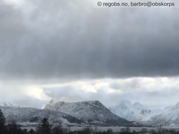
Image 1 of 16 Of: Weather Copyright: barbro@obskorps Comment: Allerede kl.12 lysnet opp/høyere skydekke.
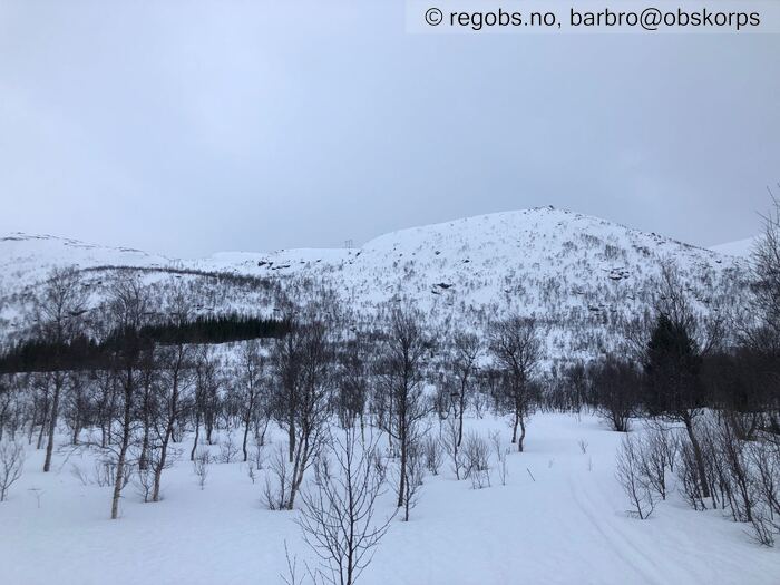
Image 2 of 16 Of: Snow Cover Copyright: barbro@obskorps Comment: Mot S
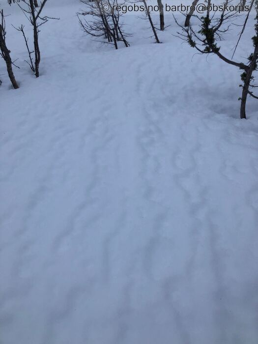
Image 3 of 16 Of: Snow Cover Copyright: barbro@obskorps Comment: 50 moh: Fuktige riller i snødekket.
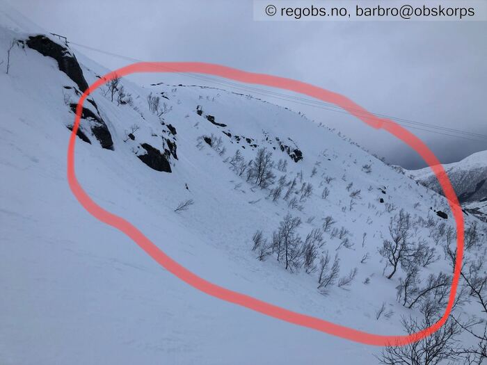
Image 4 of 16 Of: Snow Cover Copyright: barbro@obskorps Comment: 250moh: Sterk vind har røsket godt tak i topplaget på snødekket.
Image 5 of 16 Of: Snow Cover Copyright: barbro@obskorps Comment: 300moh: Det baller fort på seg.
Image 6 of 16 Of: Snow Cover Copyright: barbro@obskorps Comment: Mot S - Skredinden
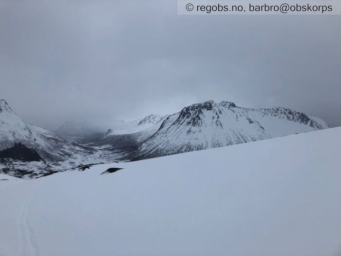
Image 7 of 16 Of: Snow Cover Copyright: barbro@obskorps Comment: Mot N
Image 8 of 16 Of: Snow Cover Copyright: barbro@obskorps Comment: Mot N/NV
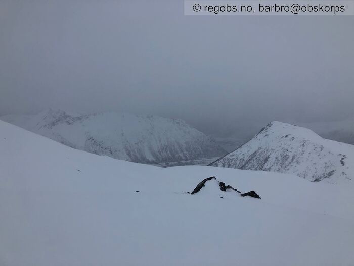
Image 9 of 16 Of: Snow Cover Copyright: barbro@obskorps Comment: Mot NV
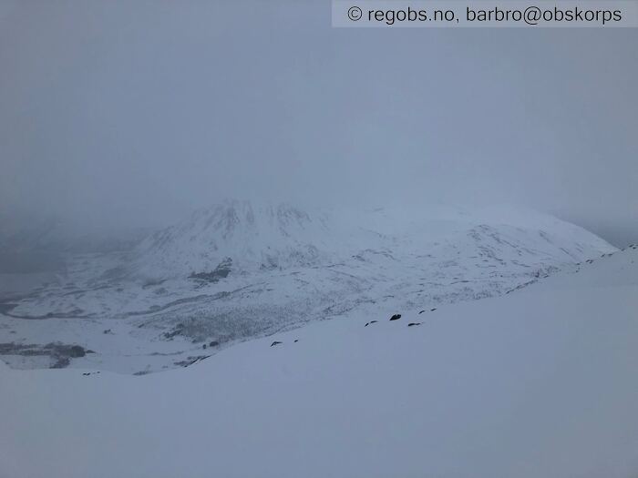
Image 10 of 16 Of: Snow Cover Copyright: barbro@obskorps Comment: Mot Ø
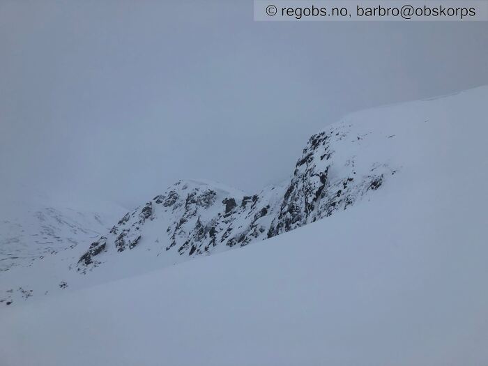
Image 11 of 16 Of: Snow Cover Copyright: barbro@obskorps Comment: Mot SØ
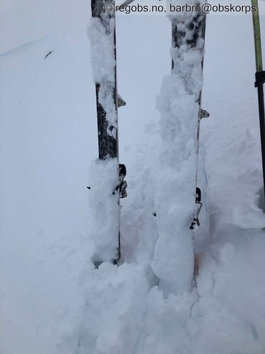
Image 12 of 16 Of: Snow Cover Copyright: barbro@obskorps Comment: Kladding fra 400moh. Sugeføre ved nedkjøring: Kjørte hele veien ned fra observasjonspunkt til tregrensa uten å ta en eneste sving.
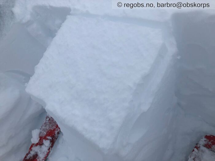
Image 13 of 16 Of: Tests Copyright: barbro@obskorps Comment: LBT lett kakk med spaden.
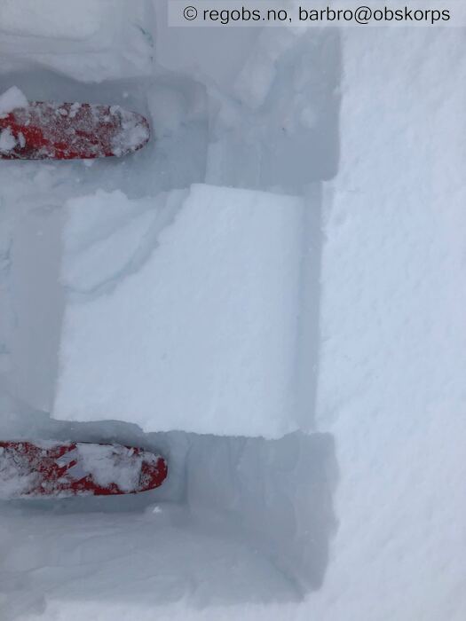
Image 14 of 16 Of: Tests Copyright: barbro@obskorps Comment: Bruddtype Q1. Nedføyket løs nysnø.
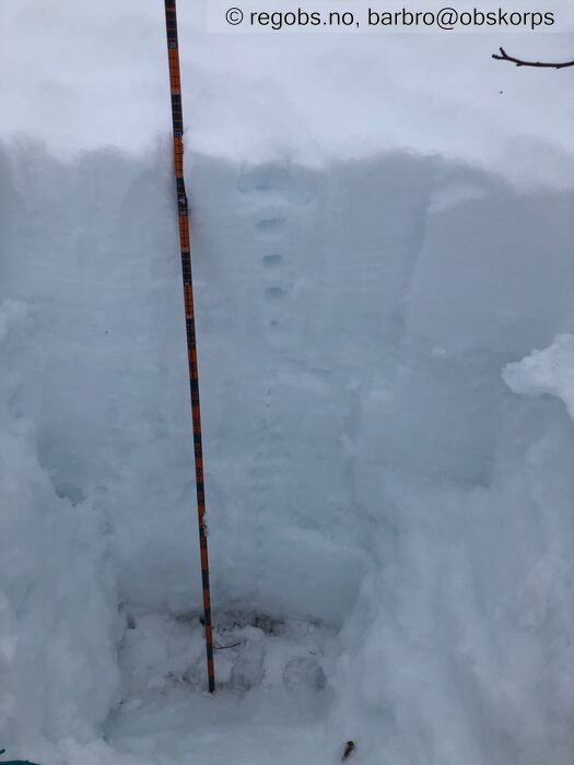
Image 15 of 16 Of: Snow Profile Copyright: barbro@obskorps Comment: Snøprofil 300moh: Gjennomfuktet snødekke (M).
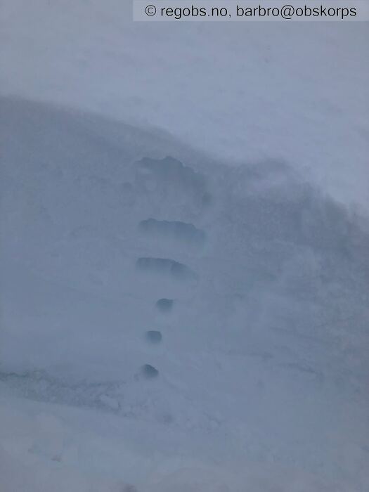
Image 16 of 16 Of: Snow Profile Copyright: barbro@obskorps Comment: 680moh: Toppdekket består av 2cm fuktig snødekke (M), deretter vindpakket myk snø (4F/1F). Under dette skarelag. 5cm ned i snødekket: Nedføyket løs nysnø.
Danger Sign
• No signs observed • Område: For kommunen. Beskrivelse: Gjennomfuktet snødekke opp til tregrensa. 680moh var kun de øverste to cm av snødekket fuktig.
Avalanche Activity
• 10. Mar. During the day (+01:00) • No avalanche activity • Tiltagende dårlig sikt.
Snow Cover
• Moderate snow drift • Wet loose snow • Moist • Moderat- kraftig snøfokk i kastene på de høyere toppene. Under tregrensa gjennomfuktet snødekke. Over tregrensa på 680moh øverste to cm fuktig vindpakket myk snø 4F. Nedenfor tørr vindpakket myk snø 4F og 1F. Under dette skarelag. God binding mellom skarelag og vindpakket myk snø.
Weather
• Sleet • 0 °C • 10 m/s from SW ↗ • 100% clouds • Regn opp til 500moh. Vekslende mellom regn- og snøbyger mellom 500 til 650moh. Snøbyger fra 650moh. Disse bygegrensene varierer nok gjennom dagen.
Tiltagende bygevær på turen. Sterk vind i kastene. Men allerede kl.12 lysnet været opp/høyere skydekke.
Tests
• LBT@5cm(Q1) • Lett kakk med spaden. Nedføyket løs nysnø. Inntrykket var dårlig forplantningsevne opp til 680moh. Antar at fra 750moh så øker forplantningsevnen.
Avalanche Problems
• Dry slab avalanche • Buried weak layer of new snow • Within half a meter • The weak layer collapses easily and clean (easy propagation). The collapsing weak layer is thin < 3 cm. The overlying slab is soft. A big and identifiable crystal in the weak layer. • Easy to trigger • 1 - Small • Some steep slopes N, NE, E, NW above 700 masl
• Loose wet avalanche • Loose snow • Spontaneous release • 1 - Small • Few steep slopes N, NE, E, SE, S, SW, W, NW below 500 masl • Antar våte løssnøskred i forbindelse med sterk vind. Nedbør i begrenset tidsrom, samt begrensede nedbørsmengder, så antar ikke våte løssnøskred på grunn av vannmengder.
Avalanche Danger Assessment
• Snødekket inneholder en del fuktighet opp til 400moh, deretter avtagende. Men fortsatt overflatefukt på 700moh. LBT bekrefter nedføyket løs nysnø på 680moh. Men dette antas å være et nevneverdig skredproblem fra 700-750moh og oppover. • 2 Moderate • Forecast too high • Mindre nedbør enn forventet. Vurderingen gjelder for Vesterålen, men basert på gårdagens observasjoner i Lofoten forventes det samme FG der.

